Red Mountain
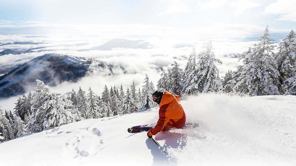
The last great unspoiled resortAt RED, visitors can choose from 110 runs spread across three stellar mountains that feature everything from wide-open groomers to steep, powder-filled glades.
Numbers don’t lie!
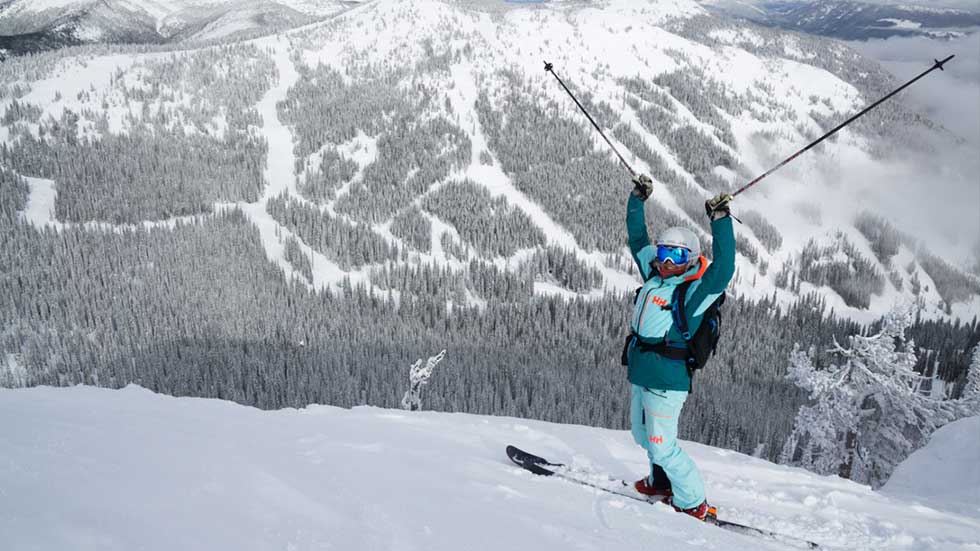
With more than 2,682 skiable acres and 890 meters (2,919 feet) of vertical terrain serviced by 7 total lifts, there is a lot to explore at RED.
The abundant snow, friendly staff and locals, and the short lift lines are just a few reasons why our guests fall in love.
SO…HOW DO I GET THERE?
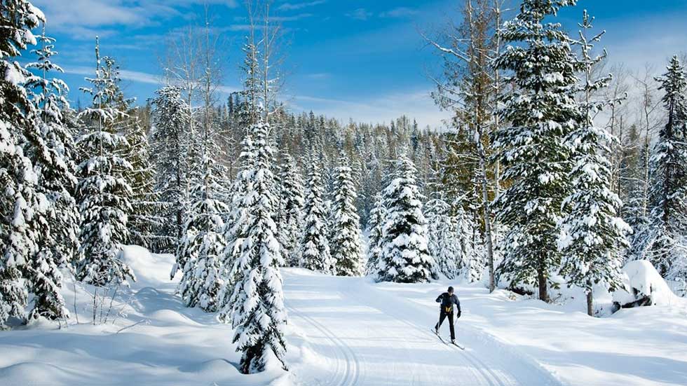
fly, drive, run – just get here!
Located at an elevation of 1023 metres (3410 feet), Rossland lies high in the Monashee Mountains in the West Kootenay region of British Columbia, Canada. Within driving distance are Spokane International Airport (GEG), Kelowna Int’l Airport (YLW), and the smaller regional airports of Castlegar (YCG) and Trail (YZZ).
GOLD GOT ‘EM HERE
…AND THE KOOTENAYS KEPT ‘EM HERE
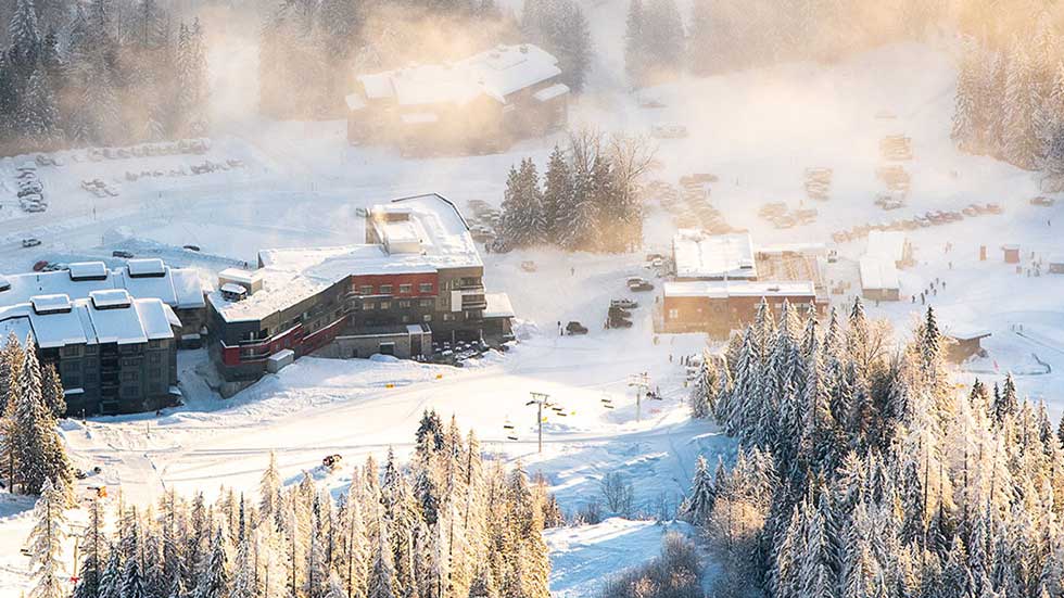
Modern-day Rossland is that rare beast: A place of small town charm and big, big ideas. A real municipality at the base of a world-class ski resort. An historic downtown core with all mod cons, from gourmet espresso to book stores. And all of it is held together by the famously friendly locals and their commitment to making sure that Canadian Hospitality still means something.
Recently voted Canada’s #1 Outdoor Town by Explore magazine, the Rossland area is a natural playground for adventure seekers from around the world. Our stunning alpine town also features all of the amenities you would expect: shopping, casual and fine dining, pubs, bars, fitness centre and more.
Rossland is located 8 km north of the US/Canada border in the heart of the West Kootenay region of British Columbia. Rossland is a 2.5 hour drive from the Spokane, WA International Airport, or 3.5 hours drive from Kelowna, BC International Airport. Daily regional flights are available from Vancouver and Calgary to Castlegar (30 minutes from Red) and Trail Airports (15 minutes from Red), a short drive from the Resort.
Mountain Stats
Base Elevation: 3,387 ft
Summit Elevation: 6,807 ft
Vertical Drop: 2,919 ft
Number of marked Runs: 110
Number of Lifts: 7
Average Annual Snowfall: 300 in
Skiable Acreage: 4,200 acres
Avg Winter Temperature: 25F
Longest Run: Centennial at 4.3 miles
Trail Classification
🟢 Beginners Runs: 18%
🟦Intermediate Runs: 31%
⬛ Advanced Runs: 23%
🟥 Expert Runs: 28%